Your Guide for Soil Improvement with PLAXIS
By registering for the webinar, you will receive PLAXIS Soil Improvement practical examples (model files + description).
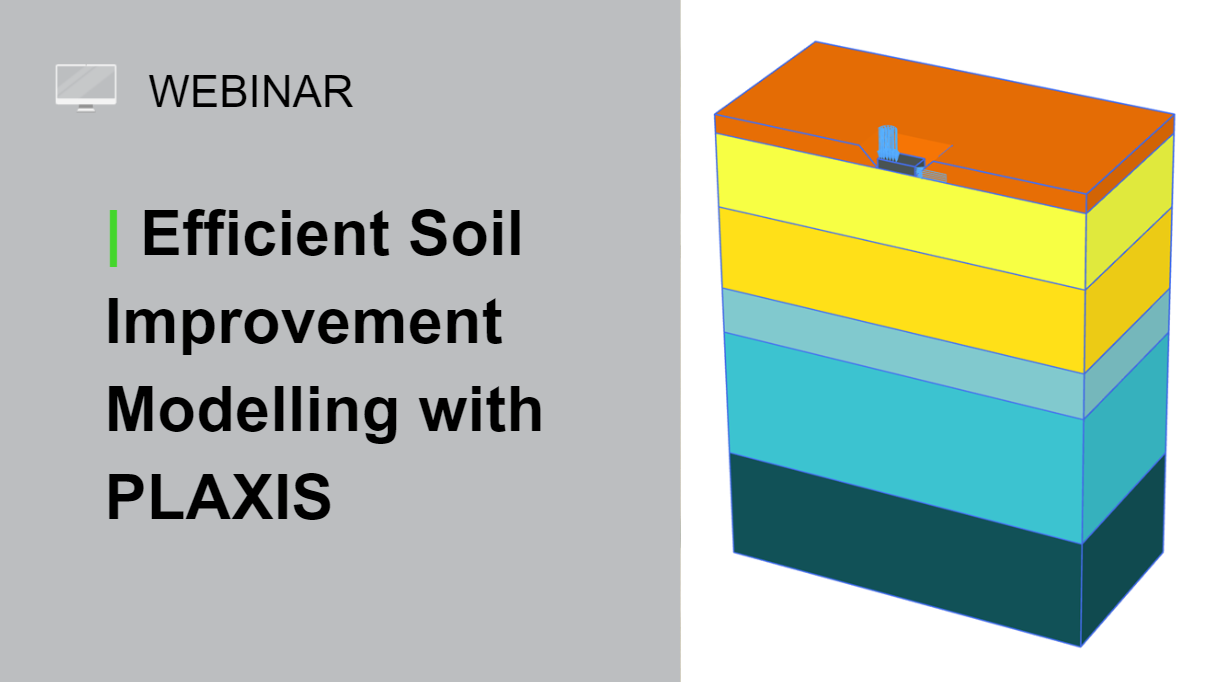
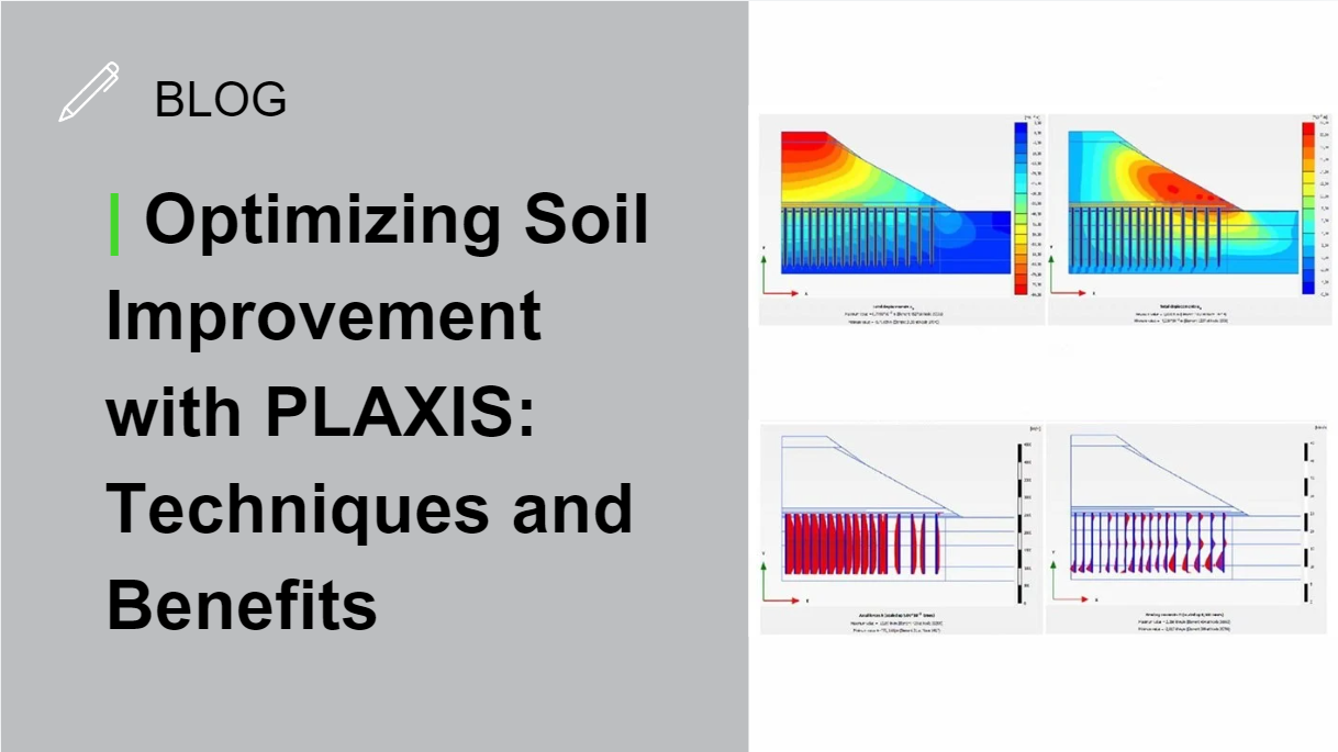
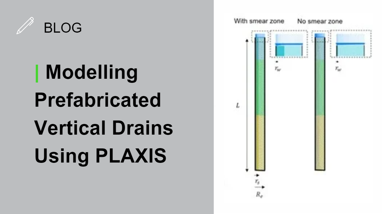
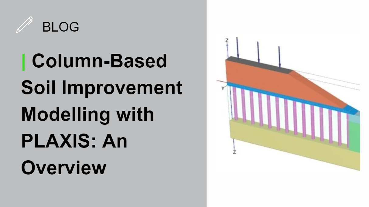
Geotechnical engineers face complex challenges when optimizing soil improvement techniques, which are crucial for enhancing soil strength, reducing settlements, controlling water flow, and improving stability. Accurate simulations of soil-structure interaction, consolidation, advanced material behavior and structural elements are essential for techniques like preloading, surcharging, compaction, and stabilization. To handle these demands, a powerful Finite Element Analysis (FEA) tool is needed. PLAXIS offers robust functionalities to support precise simulation of these techniques, enabling engineers to confidently address soil improvement projects. In this series, we’ll explore and highlight how PLAXIS can help you effectively tackle your soil improvement projects with precision and confidence.
Check out more geotechnical blogs, articles, and stories.
Want to try PLAXIS?
See if you qualify for a free, 30-day, fully functional trial license. Complete the form and we will get back to you.
PLAXIS 2D
Every project is challenging, but the geotechnical analysis doesn’t have to be. PLAXIS 2D provides the power of fast computations. Perform advanced finite element or limit equilibrium analysis of soil and rock deformation and stability, as well as soil structure interaction, groundwater, and heat flow.
PLAXIS 3D
Perform advanced finite element or limit equilibrium analysis of soil and rock deformation and stability, as well as soil structure interaction, groundwater, and heat flow. PLAXIS 3D includes the most essential functionality to perform everyday deformation and safety analysis for soil and rock. This comprehensive software for the design and analysis of soils, rocks, and associated structures makes it easy to model in full 3D.

.gif)
.gif)